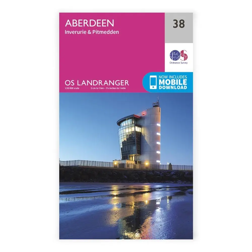
Description
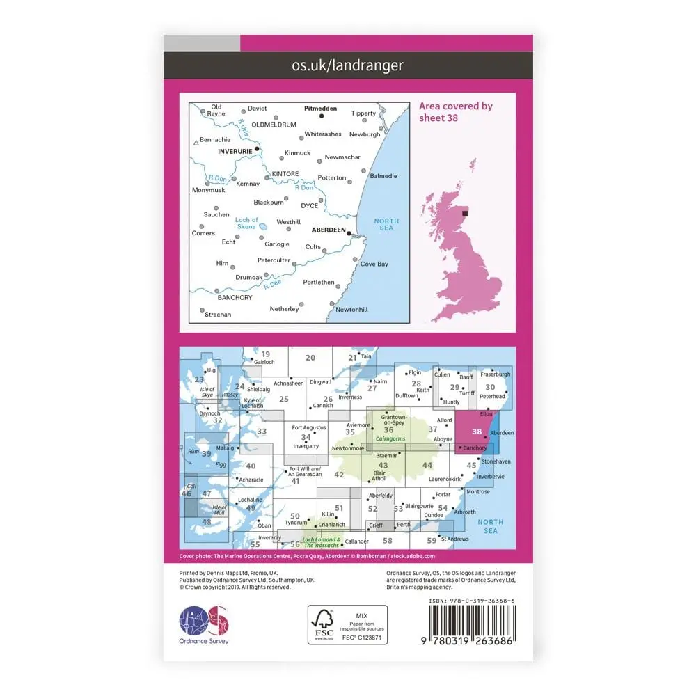
Ordnance Survey Landranger maps use a 1:50,000 scale to cover wide areas (40km by 40km) with a high level of detail.
With a map for every part of Great Britain and its surrounding isles, Landrangers are perfect for planning holidays, backpacking trips and bike rides. “What’s that perfectly circular trail over there? Oh… that’s a tea ring…”
Route planning is made easy with rights of way markers for footpaths, bridleways and byways, plus symbols for campsites, youth hostels and other services.
Landranger 38 includes the Old Deeside Line Walk, Formatine and Buchan Way and the Gordon Way.
Explore more from our collection.
Reviews
There are no reviews yet.